
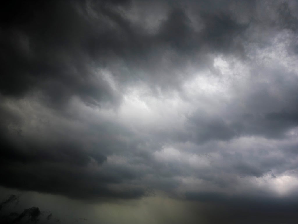
The South African Weather Service has warned of scattered to severe thunderstorms across parts of the country.
The South African Weather Service has issued alerts for severe thunderstorms and damaging winds across four provinces with warnings of fire danger conditions in parts of Limpopo as well as a couple of municipalities in the Northern and Western Cape.
Impact-based warnings
A Yellow Level 2 warning has been issued for severe thunderstorms that could result in strong damaging winds and large hail over the western and central parts of KwaZulu-Natal, the eastern half of the Free State, southern parts of Gauteng and Mpumalanga.
A Yellow Level 1 warning has been issued for damaging winds over the central and south-eastern parts of the Northern Cape that could result in difficult driving conditions and the blowing of loose debris.
Fire danger warning
Extremely high fire danger conditions are expected in places over the northern parts of Limpopo, the Kamiesberg Municipality of the Northern Cape as well as the Bergrivier Municipality in the Western Cape.
???Weather outlook for Wednesday, 06 December 2023. Partly cloudy and warm, but hot over the northern areas with Scattered to isolated thunderstorms over the central and eastern parts of the country. A: Yellow level 2 :severe thunderstorms.B: Yellow level 1: Damaging winds. pic.twitter.com/TbHm9EFB01
— SA Weather Service (@SAWeatherServic) December 5, 2023
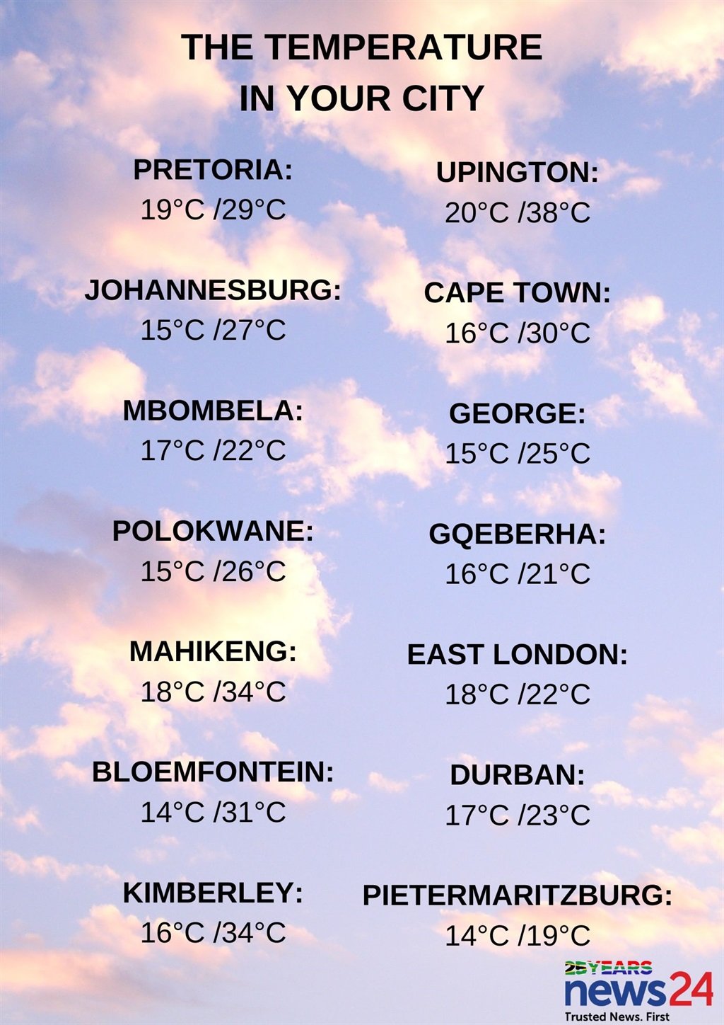
The weather in your region
Gauteng will be partly cloudy and warm but hot in the north. Isolated showers can be expected in the afternoon but scattered in the extreme south.
The expected UVB sunburn index is very high.
It will be cloudy and cool to warm in Mpumalanga, with scattered showers and thundershowers which will be isolated in the extreme north-eastern parts of the province.
Limpopo can expect partly cloudy and very hot to extremely hot conditions in the west, otherwise it will be cloudy and warm to hot with isolated showers and thundershowers in places over the east and central parts.
The North West will be partly cloudy, windy and hot to very hot with isolated thundershowers, except in the extreme north-western parts of the province.
Morning fog patches are expected in the eastern parts of the Free State where it will be cool, otherwise partly cloudy, windy and warm to hot with scattered showers and thundershowers but isolated in the far west.
It will be windy over the interior of the Northern Cape, otherwise partly cloudy and warm to hot but very hot conditions are expected in the east with isolated thundershowers in the extreme east.
The wind along the coast will be moderate south-westerly.
Partly cloudy conditions are expected along the south-coast and interior of the Western Cape at first, becoming fine and warm to hot but very hot along the west coast.
The wind along the coast will be moderate south-westerly along the west coast otherwise fresh to strong east to south-easterly.
The expected UVB sunburn index is extreme.
It will be partly cloudy and warm in places over the western half of the Eastern Cape, otherwise cloudy and cool with light rain in the extreme east, but windy with isolated showers and thundershowers in the north and eastern parts from the afternoon.
The wind along the coast will be moderate to fresh easterly, reaching strong in the afternoon.
The eastern half of the province will be windy and warm in the north-west, otherwise cloudy with scattered showers and thundershowers.
The wind along the coast will be light to moderate easterly, becoming fresh to strong north-easterly in the afternoon.
KwaZulu-Natal can expect cloudy and cool but cold conditions in the south-western parts. Scattered showers and thundershowers can be expected in the afternoon.
The wind along the coast will be moderate south-easterly, becoming easterly to north-easterly from the south in the afternoon.
The expected UVB sunburn index is low.


Recent Comments