
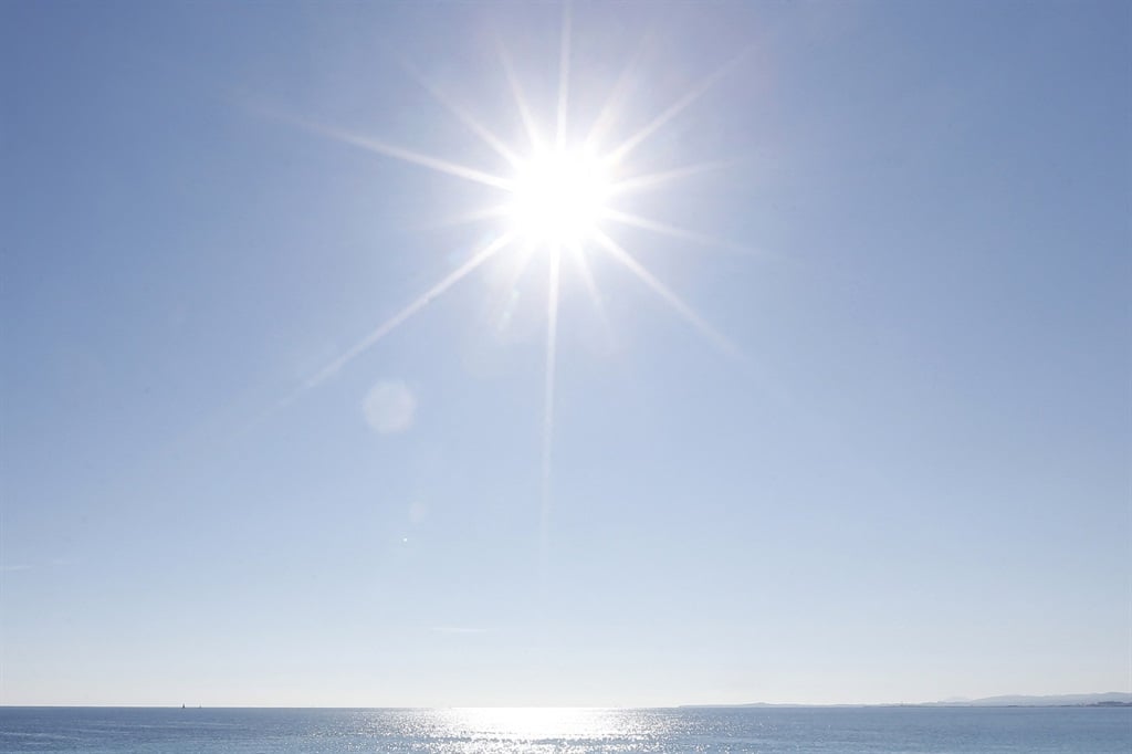
Heatwave conditions are expected over parts of SA.
The South African Weather Service has warned of severe thunderstorms in three provinces as a heatwave is expected to hit parts of the country for the rest of the week.
Impact-based warning:
A Yellow Level 2 warning has been issued for severe thunderstorms that will bring large amounts of small hail and heavy downpours that could result in localised flooding of susceptible roads, low-lying areas and bridges over Gauteng, western Bushveld of Limpopo as well as the west and central parts of Mpumalanga.
Fire danger warning:
Extremely high fire danger conditions are expected in places over central and eastern parts of the Northern Cape.
Advisory:
Heatwave conditions resulting in persistently high temperatures over and above the average maximum are expected over the western parts of the North West, west and central parts of the Free State, as well as eastern Northern Cape until Saturday.
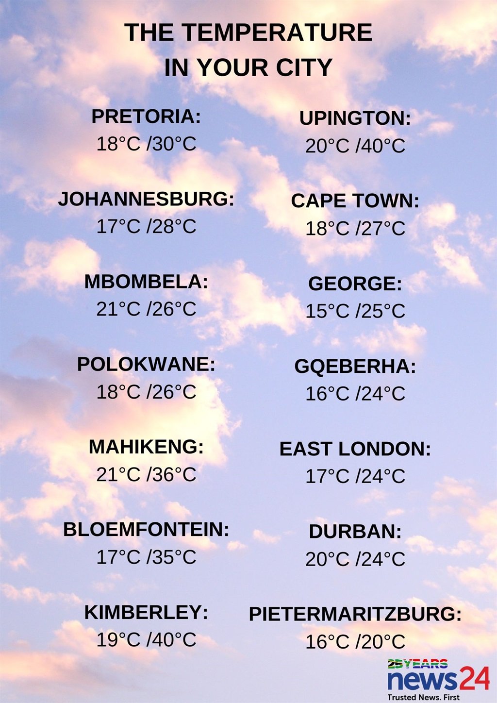
The weather in your region:
Gauteng will be fine in the morning, otherwise it will be partly cloudy and warm but hot in the north. Scattered showers and thundershowers can be expected in the afternoon.
The expected UVB sunburn index is very high.
Morning drizzle and fog patches are expected along the escarpment of Mpumalanga, otherwise it will be partly cloudy and cool to warm with scattered showers and thundershowers, which will be isolated in the north-eastern parts of the province.
Limpopo can expect morning drizzle and fog along the escarpment, otherwise cloudy and warm to hot conditions are forecast, with isolated showers and thundershowers which will be scattered in the south-west.
It will be partly cloudy and hot but very hot in the western parts of the North West, with isolated afternoon showers and thundershowers in the far east.
The Free State will be partly cloudy and hot but very hot in the west, with isolated afternoon showers and thundershowers in the far east.
Cloudy conditions are expected in the Northern Cape along the coast in the morning, where it will be cool. It will be fine and hot to very hot but warm in places in the south. Partly cloudy conditions are expected in places in the east in the afternoon.
The wind along the coast will be fresh to strong southerly to south-easterly.
It will be partly cloudy in the eastern parts of the Western Cape in the morning, otherwise fine and warm to hot, but very hot conditions are expected in places over the interior. It will become partly cloudy along the south coast in the evening.
The wind along the coast will be light to moderate easterly to south-easterly along the south coast in the morning, otherwise fresh to strong south-easterly.
The expected UVB sunburn index is extreme.
It will be partly cloudy and warm in the western half of the Eastern Cape, but hot in places in the north. It will be cloudy and cool along the coast and adjacent interior, where rain can be expected in the morning.
The wind along the coast will be light to moderate south-easterly, becoming moderate to fresh north-easterly east of Algoa Bay in the evening.
The eastern half of the province will be partly cloudy and hot in the north-west, otherwise it will be cloudy and cool to warm with isolated showers and thundershowers along the coast and adjacent interior as well as over the north-east.
The wind along the coast will be light to moderate south-westerly in the south in the morning otherwise south-easterly, becoming moderate to fresh north-easterly from late afternoon.
KwaZulu-Natal will be cloudy and cool, but warm in places in the north with isolated showers and thundershowers.
The wind along the coast will be moderate to fresh southerly to south-westerly, becoming south-easterly in the south from late afternoon.
The expected UVB sunburn index is very high.


Recent Comments