

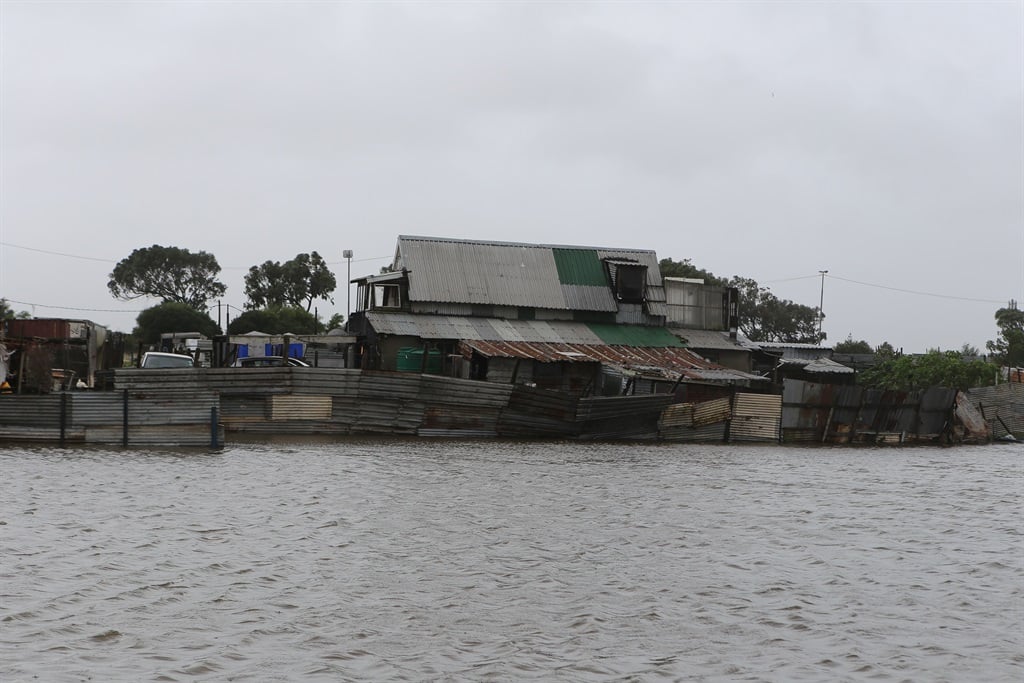
Cool to warm weather is expected in most parts of the country. While showers may cause localised flodding in low-lying areas.
According to the South African Weather Service, it will be hot, humid and windy across a number of provinces.
Impact-based warning:
A Yellow Level 2 warning for damaging winds that could lead to localised damage to settlements (formal and informal) and reduced visibility due to dust storms over the eastern parts of the Northern Cape and the western parts of the Free State.
Fire danger warning:
Extremely high fire danger conditions are expected over the Beaufort West Municipality in the Western Cape, the northern parts of the Eastern Cape, parts of the Northern Cape, the south-western parts of the North West, as well as the western parts of the Free State.
Advisories:
– Hot and humid weather will result in extremely uncomfortable conditions in places along the coast and adjacent interior of KwaZulu-Natal.
– Heatwave conditions are expected over the north-eastern parts of the Free State and North West until Monday.
The weather in your province:
Gauteng will be fine and warm, but hot in the north.
It will become partly cloudy in the south-west in the afternoon.
The expected UVB sunburn index is extreme.
It will be hot in the lowveld of Mpumalanga, otherwise partly cloudy and warm, becoming fine during the day.
Limpopo can expect partly cloudy and warm to hot conditions, becoming fine by mid-morning.
Partly cloudy, windy and hot conditions are expected in the North West.
The Free State will be partly cloudy, windy and hot, with isolated afternoon thundershowers, except over the northern parts of the province.
It will be fine, windy and hot to very hot in the Northern Cape, with conditions becoming extremely hot in the extreme northern parts of the province.
It will become partly cloudy in the east in the afternoon.
The wind along the coast will be fresh south to south-easterly.
It will be cloudy along the coastal and adjacent interior of the Western Cape at first, otherwise it will be fine and cool, but warm over the interior.
It will become cloudy in the extreme south-west by the evening, with light rain.
The wind along the coast will be moderate south-westerly.
The expected UVB sunburn index is extreme.
Cloudy and cool conditions are expected along the coast in the western half of the Eastern Cape, otherwise it will be fine and warm to hot, becoming partly cloudy in the afternoon.
Light rain is possible in the extreme south-eastern parts of the province.
The wind along the coast will be fresh to strong south-westerly, becoming moderate in the evening.
It will be fine and hot to very hot in the eastern parts of the province, becoming cloudy, with isolated showers and thundershowers, but light rain in the south-west.
The wind along the coast will be fresh north-easterly at first, becoming fresh to strong south-westerly from the south during the morning.
KwaZulu-Natal can expect morning fog patches over the interior, otherwise it will be fine and warm to hot, but very hot in places over the interior.
It will become partly cloudy in the afternoon, with isolated showers and thundershowers, except in the northern parts of the province.
The wind along the coast will be moderate to fresh north-easterly, becoming south-westerly from the south by late morning.
The expected UVB sunburn index is extreme.


Recent Comments