
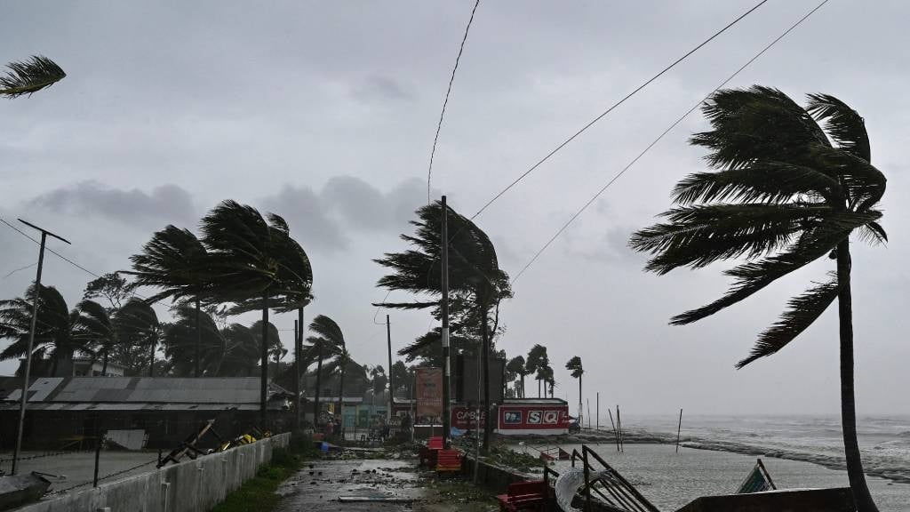
Multiple warnings have been issued for damaging winds. (Munir Uz Zaman/AFP)
Multiple weather warnings have been issued by the South African Weather Service for damaging winds that may result in difficulty navigating at sea.
Impact-based warnings:
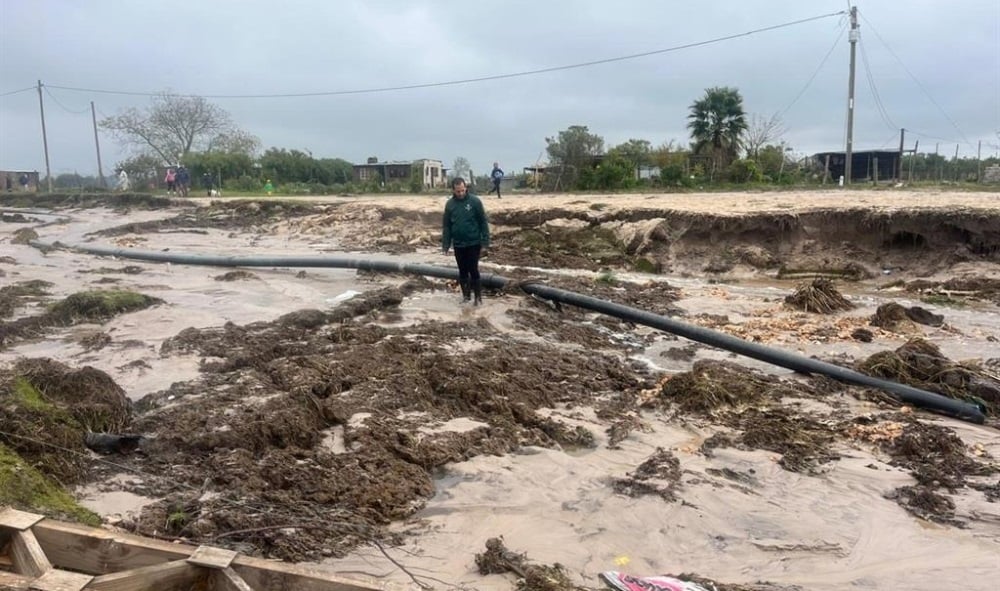
A Yellow Level 2 warning has been issued for damaging coastal winds resulting in difficulty in navigation at sea between Table Bay and Cape Agulhas from tomorrow morning until in the evening.
Small vessels and personal watercraft may be at risk of taking on water and capsizing.
A Yellow Level 1 warning for damaging winds resulting in localised damage to informal structures, localised problems for high-sided vehicles on prone routes and risk of the rapid spreading of fires has been issued for the central and eastern parts of the Northern Cape.
Fire danger warnings:
Extremely high fire danger conditions are expected over the eastern parts the Northern Cape, north-eastern parts of the Western Cape and north-western parts of the Eastern Cape.
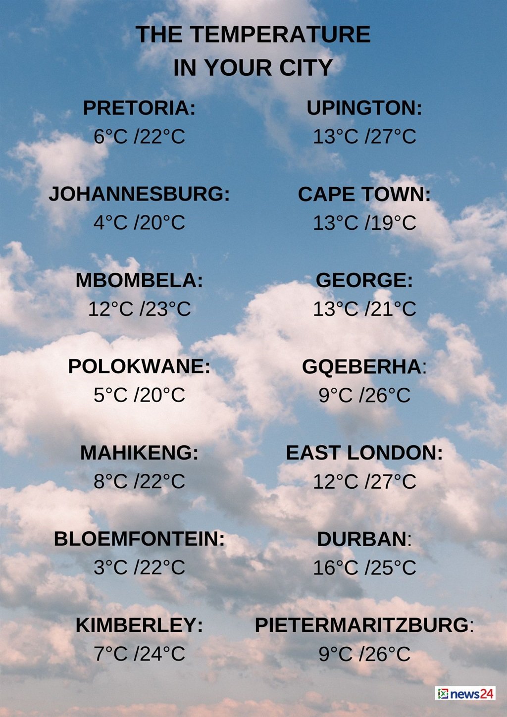
The weather in your region
Fine and cool conditions are expected in Gauteng.
The expected UVB sunburn index is high.
Mpumalanga will experience partly cloudy and cool morning patches with drizzle along the escarpment, but it will be warm on the Lowveld.
It will become fine in the west by afternoon.
It will be partly cloudy in the east of Limpopo with morning fog and drizzle expected along the escarpment.
Otherwise, fine and cool to warm conditions are forecast.
The North West will experience fine and cool conditions.
It will be partly cloudy with morning fog patches in the east of the Free State, otherwise it will be fine and cool.
In the Northern Cape, morning fog patches along the north coast are expected, but it will be windy over the eastern parts.
Otherwise, fine and cool to warm conditions are forecast.
The wind along the coast will be moderate to fresh north-westerly.
Partly cloudy conditions are expected in the west and south of the Western Cape with isolated to scattered showers along the south-west coast from the evening.
Otherwise, fine and cool to cold temperatures are forecast.
The wind along the coast will be light to moderate northerly to north-westerly, but fresh to strong along the south-west coast, becoming a light to moderate south-westerly along the south-coast east of Stilbaai by mid-morning.
The expected UVB sunburn index is moderate.
The western half of the Eastern Cape will be fine and warm, but windy over the interior.
The wind along the coast will be moderate north-westerly, becoming moderate south-westerly in the afternoon.
The eastern half of the province is forecast to be fine and warm, but cool in the northern interior.
The wind along the coast will be a moderate to fresh north-easterly.
KwaZulu-Natal is forecast to be partly cloudy and warm with morning fog patches over the interior with isolated showers expected along the north coast at first.
The wind along the coast will be a moderate to fresh northerly to north-easterly.
The expected UVB sunburn index is high.


Recent Comments